Topographical Survey - Residential Garden, Bourne End
- jhparker1995
- Nov 2, 2023
- 1 min read

Updated: Feb 20


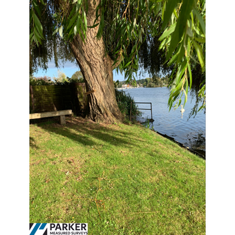
During our latest topographical survey, the site was situated in a high flood risk area on the River Thames and so it was important for planning reasons that the levels were correct. By utilising the power of 3D point clouds and LIDAR data, we could successfully cross-reference our GPS measurements to ensure the levels were spot on.


